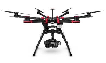
UAV Drone
Depending on your needs we will create the perfect drone fit. Whether its fantastic, unheard of aerials for your video production, or a GPS enabled drone with Lidar sensing for topographic mapping, DueNorth will select the proper drone from our fleet and operate it to make your project work perfectly at cost-effective rates.
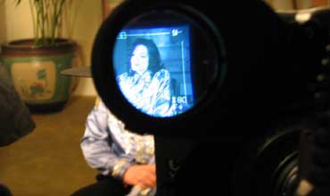
Media Production
We provide our seasoned expertise in aerial and media production to remote controlled aerials for breaking news, sports, documentaries, cinema, commercials, and promotional pieces. We also provide video for live broadcast.
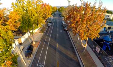
Agriculture, Forestry, Landscape Surveys, Wildlife Surveys
Remote sensing with GPS enabled drones by camera and/or Lidar allows cost-effective 3D modeling and mapping, animal and plant counting, surveying for land use, and aerial imaging. Using multispectral sensors can provide data on plant health, water quality, and plant counting.
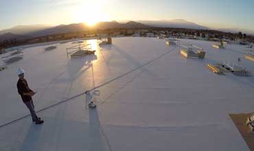
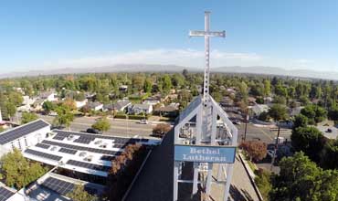
Architectural Photography and Building Inspection
Drones can be harnessed to capture amazing photographs of buildings, and their surrounding landscapes. While infrared sensing can provide close up heat loss analysis, and other cutting edge solutions for Building Managers.
Cell Phone Tower Inspection
( Transmission tower and/or wind turbine inspection )
For inspection of vertical infrastructure at height, drones are the most cost-effective means for technical evaluations.
FAA Exemption No. 12135B / Remote Pilot Certificate #3930584